Getting there
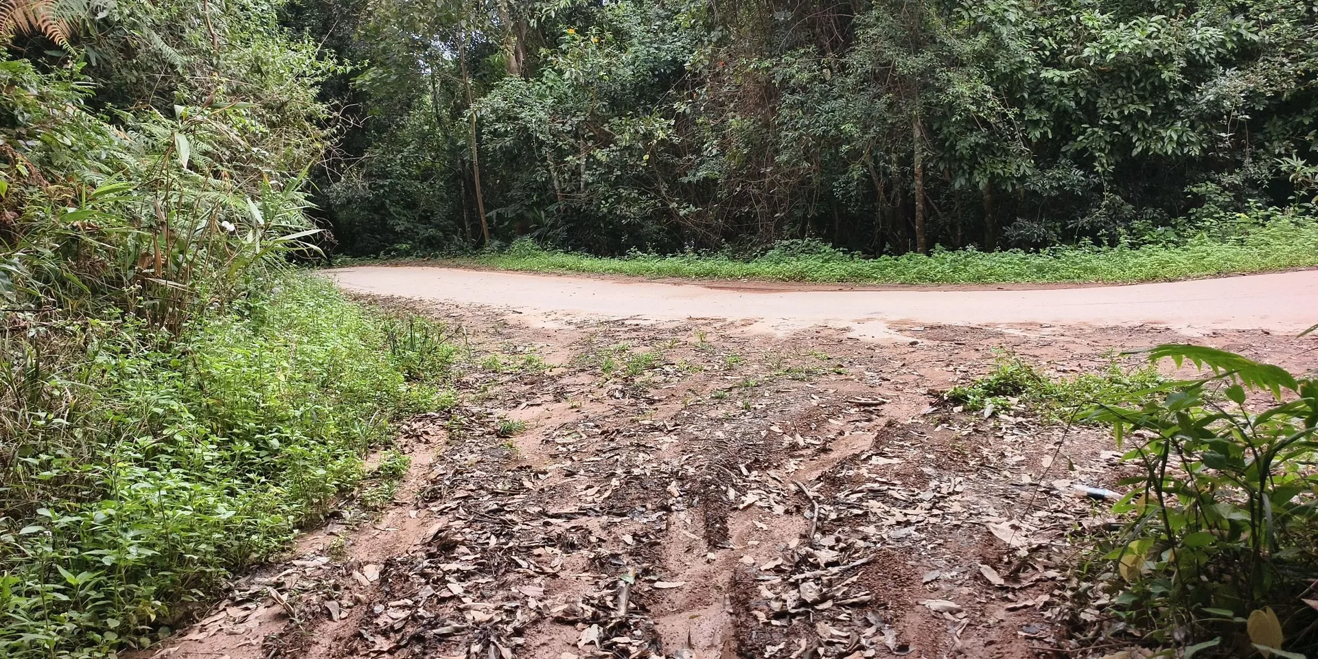
The recording is named for Tengchong, Naquluo, Houqiao, and Yongxing. It does not say which of those names is the start village. The first photo is a sign beside a road.

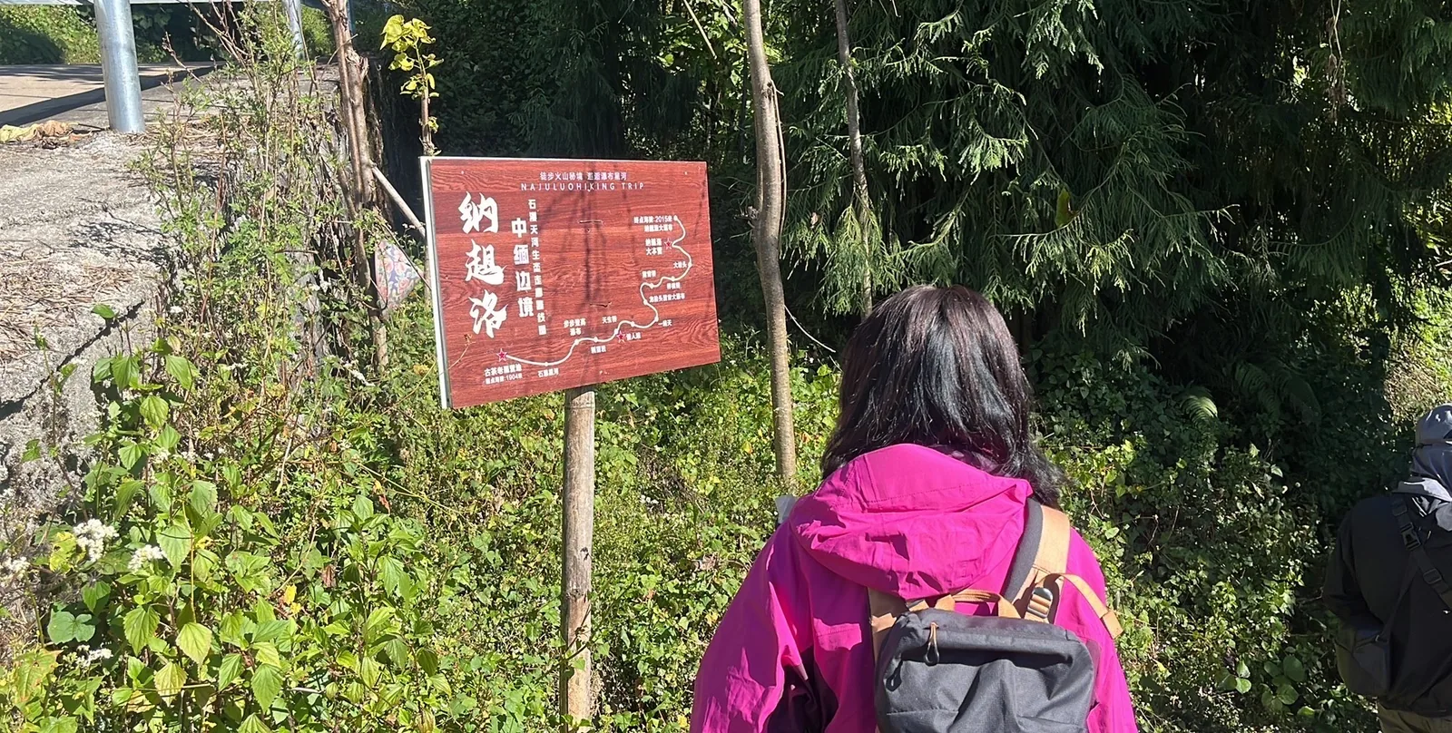
The sign that reads 纳趄洛
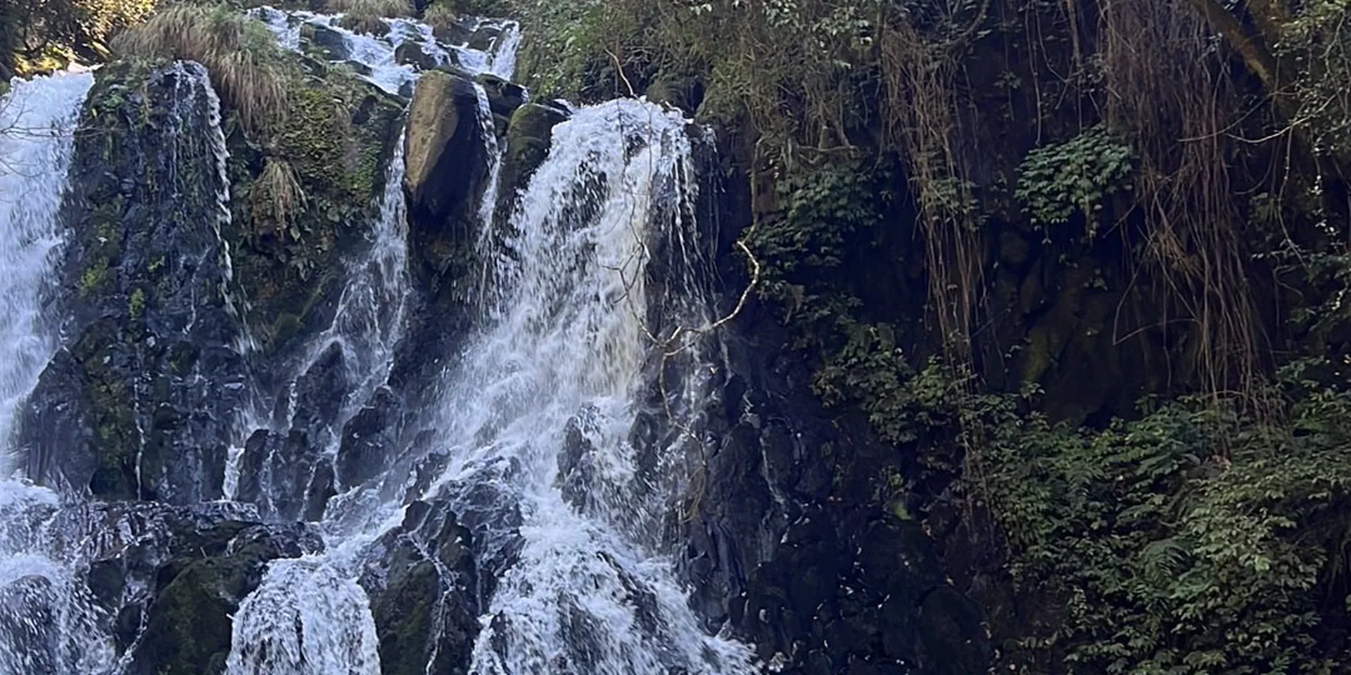
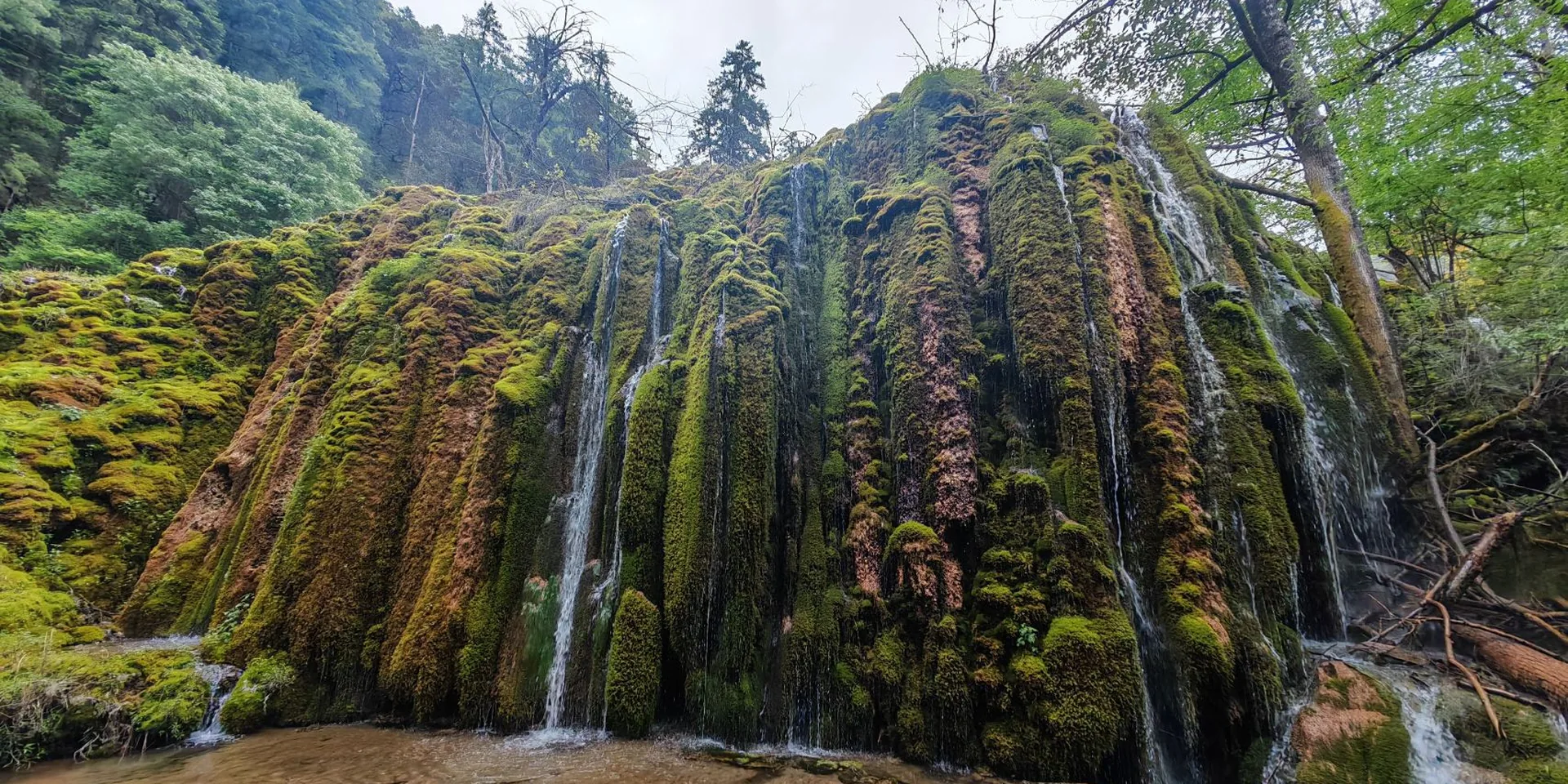
A one-day walk in Tengchong from a sign that reads Naquluo, past a waterfall, to a different point the same day.
The recording is named for Tengchong, Naquluo, Houqiao, and Yongxing. It does not say which of those names is the start village. The first photo is a sign beside a road.
The high point on this recording is 2,112 m. A photo shows the Naquluo trail sign. Confirm the trail is open before you go.
The Houqiao stone-waterfall page is a separate stub. Nanjiluo in Gongshan is a different place.
Checked October 11, 2026
Discussion
Log in to join the discussion. New here?Create an account.