Getting there
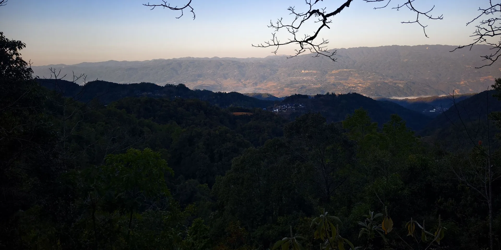
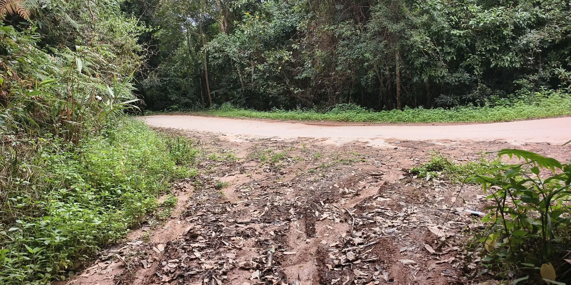
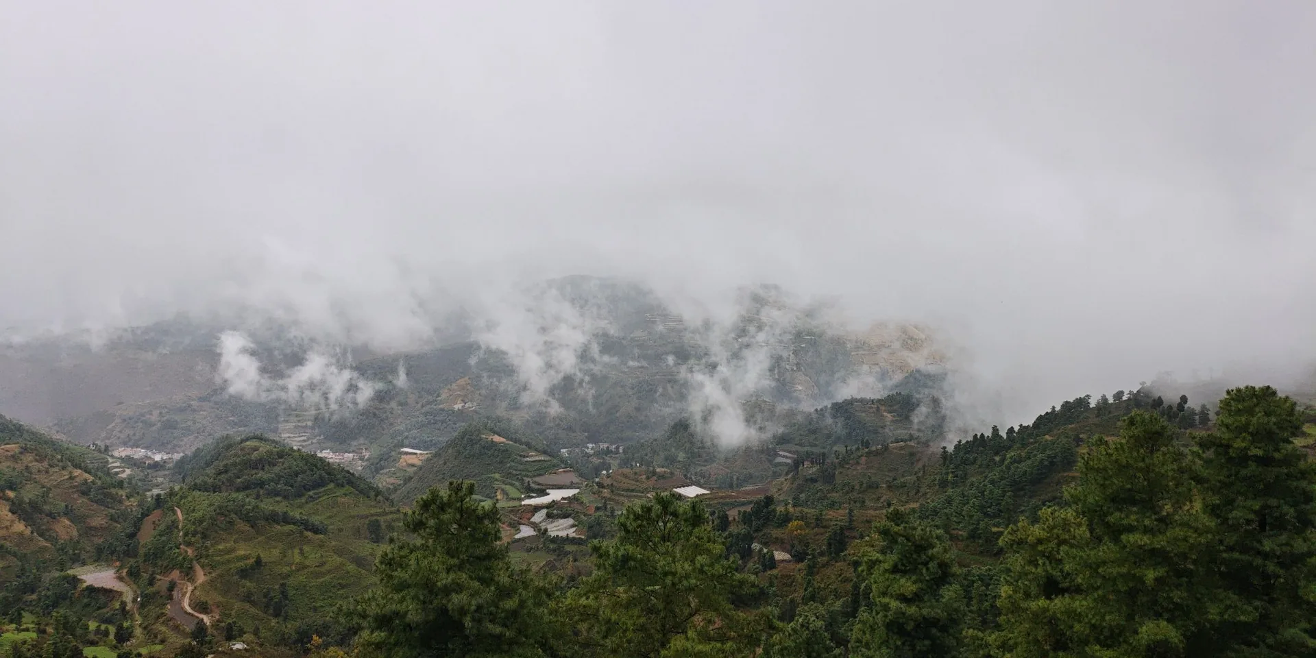
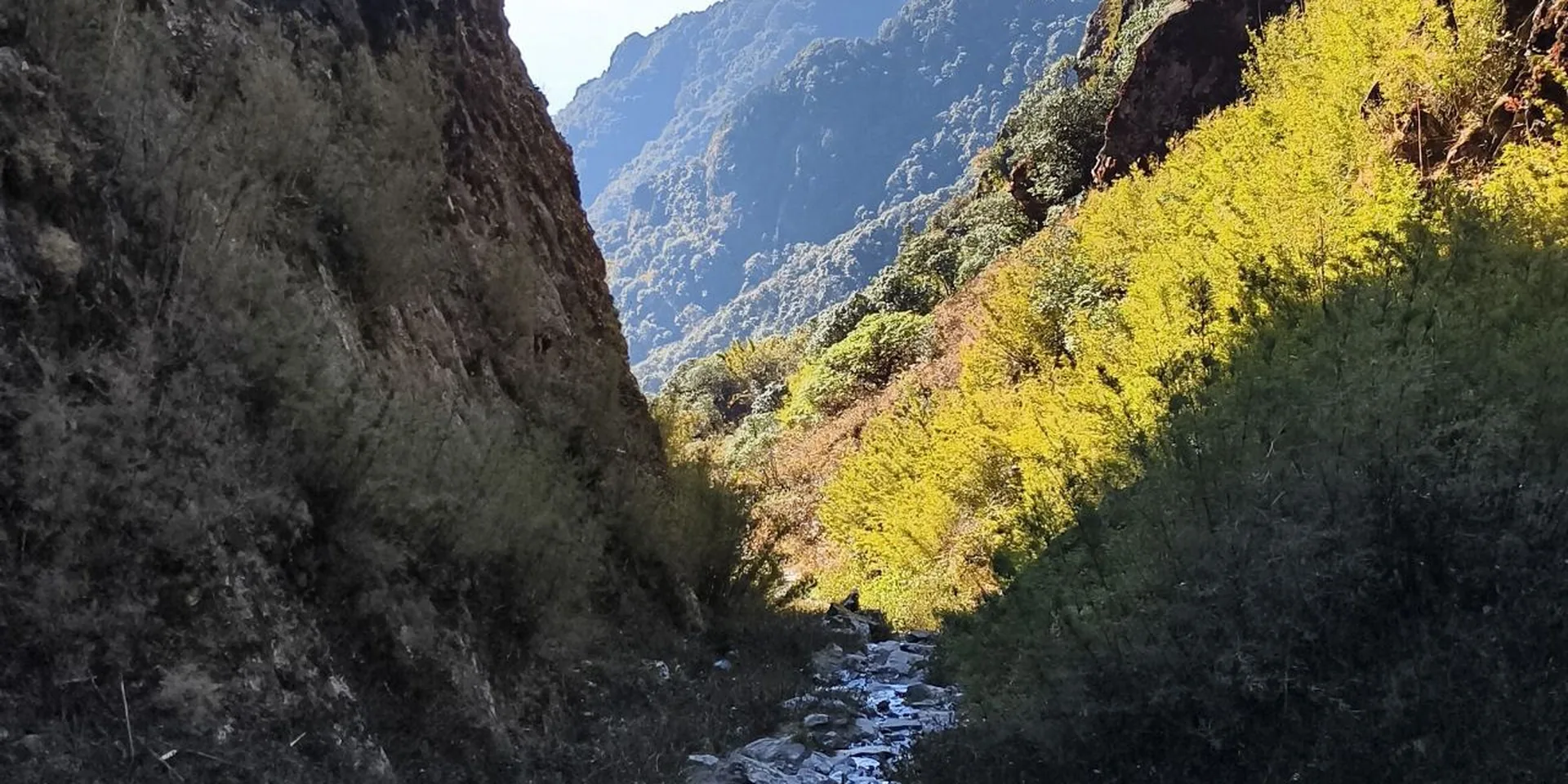
The recording does not name the village at the start. The first photo is a forested hillside beside a road, labeled 开始徒步.

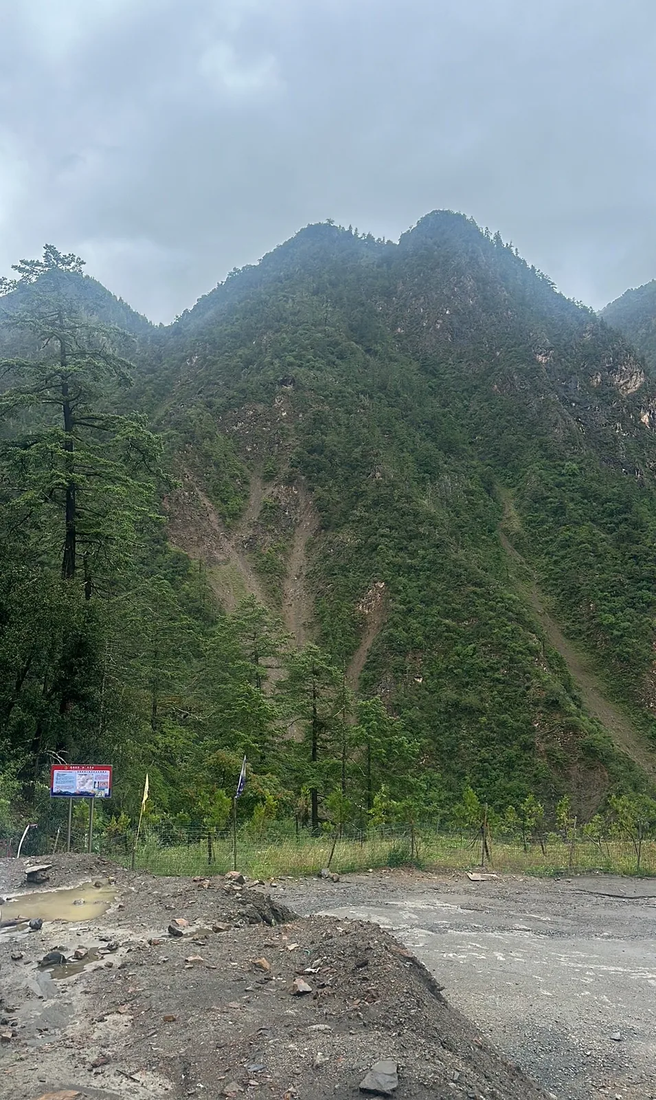
The hillside at the start
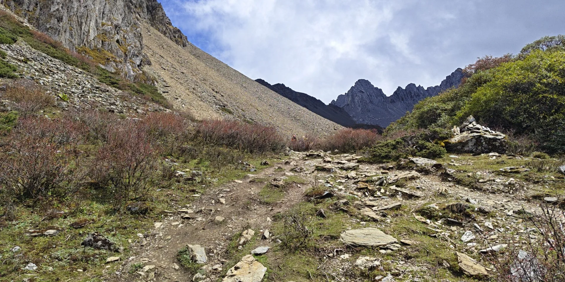
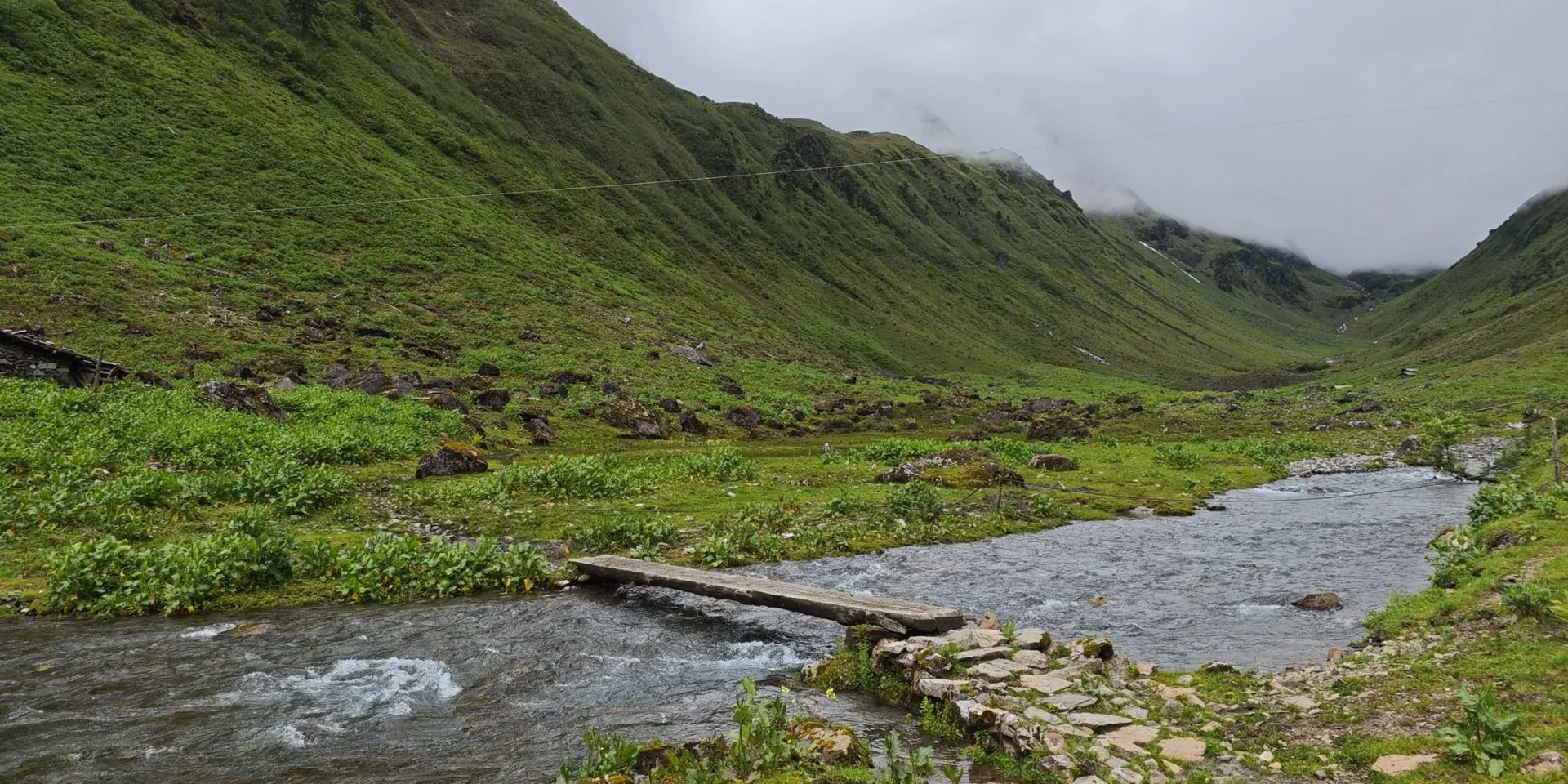
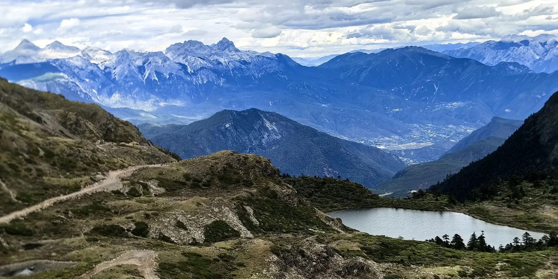
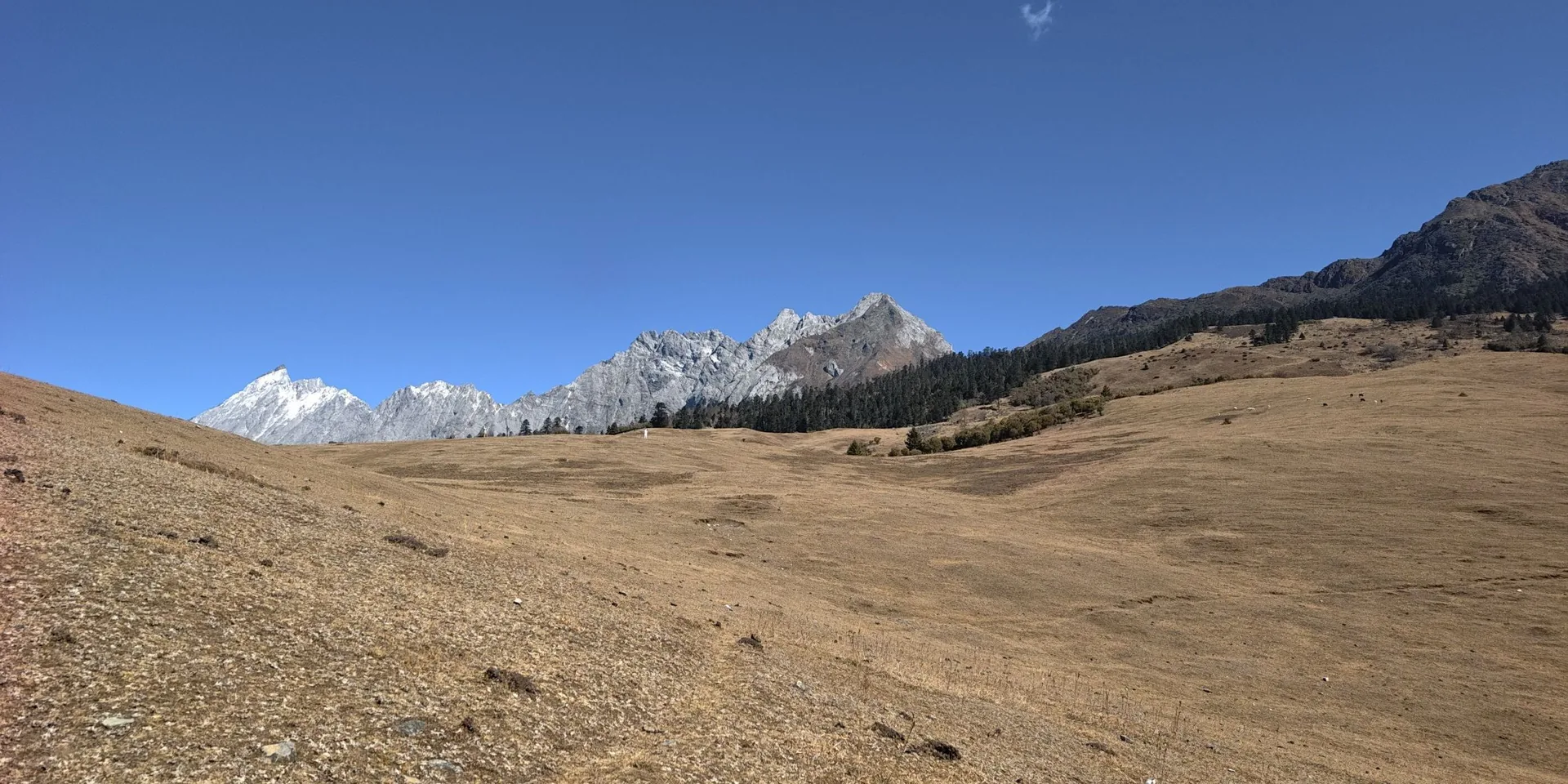
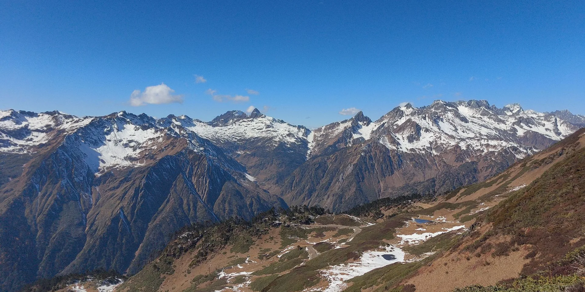
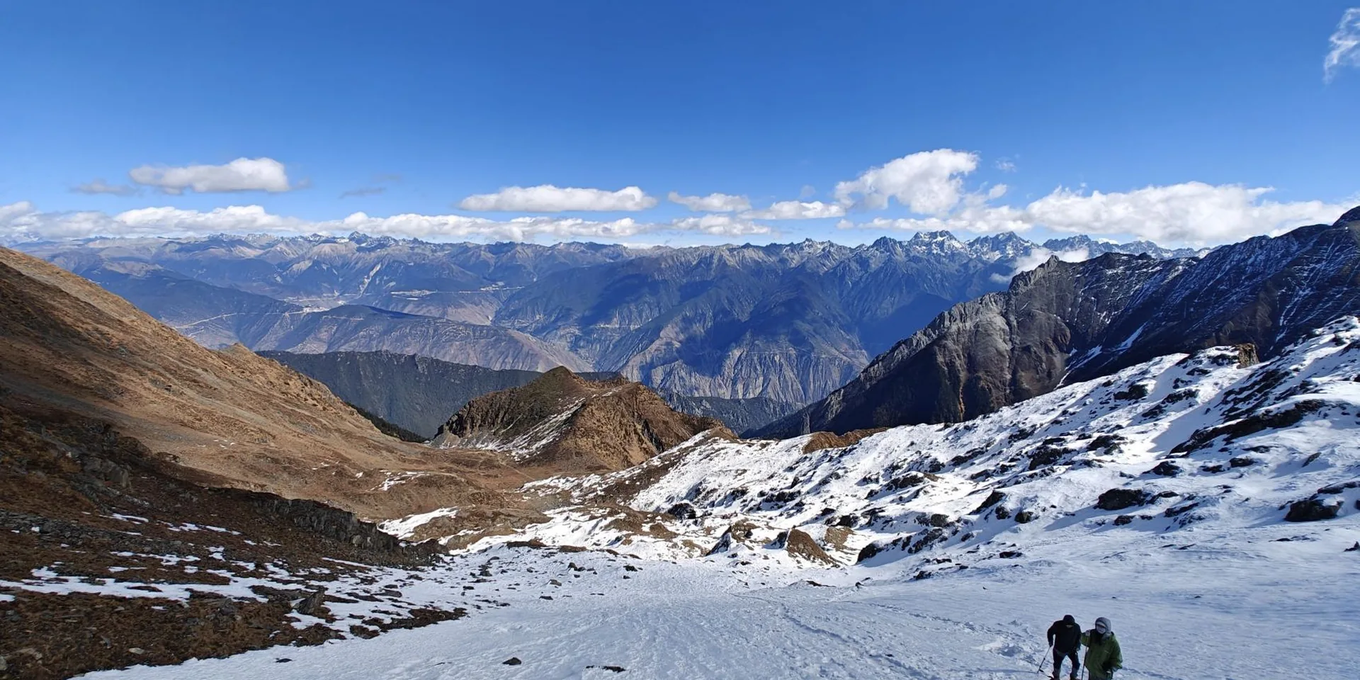
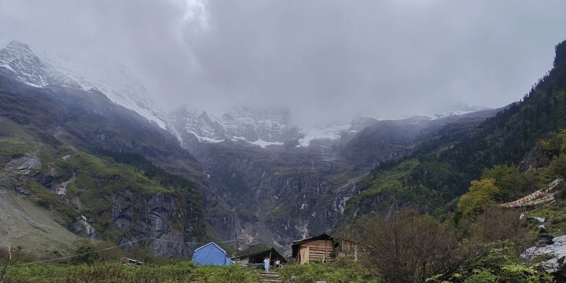
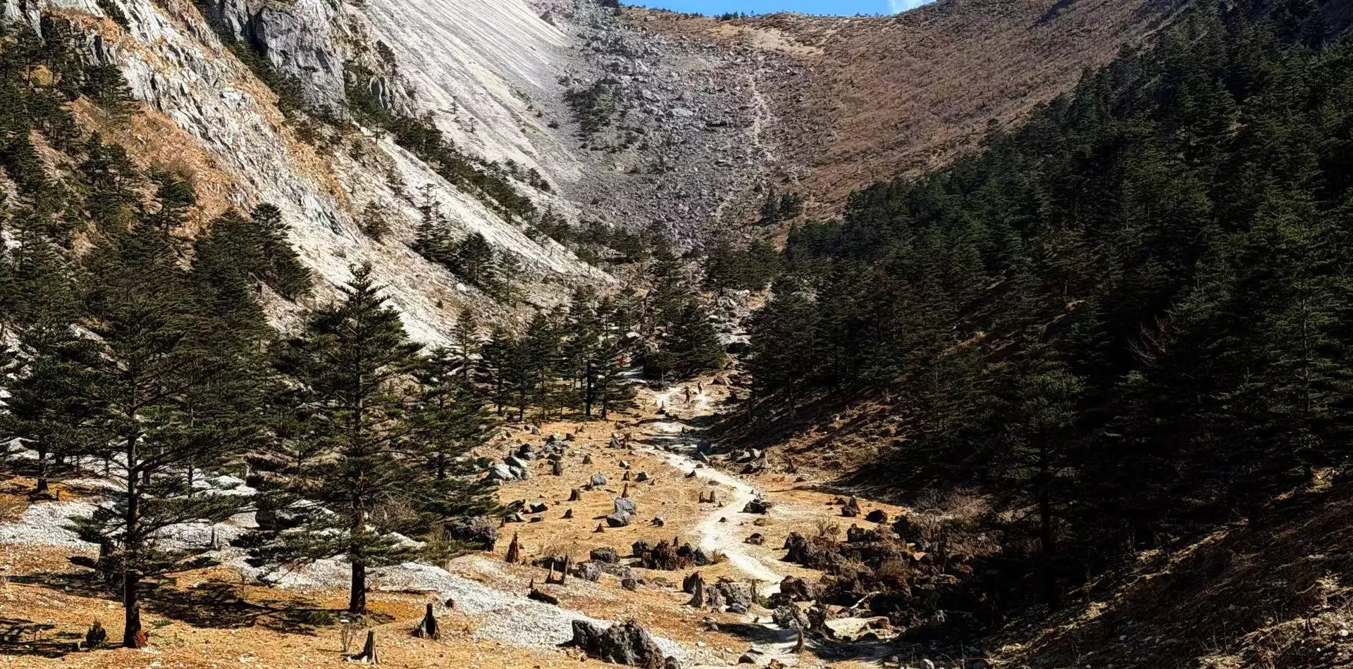
A multi-day recording on the north side of Meili Snow Mountain, from a roadside start to a point nearby.
The recording does not name the village at the start. The first photo is a forested hillside beside a road, labeled 开始徒步.
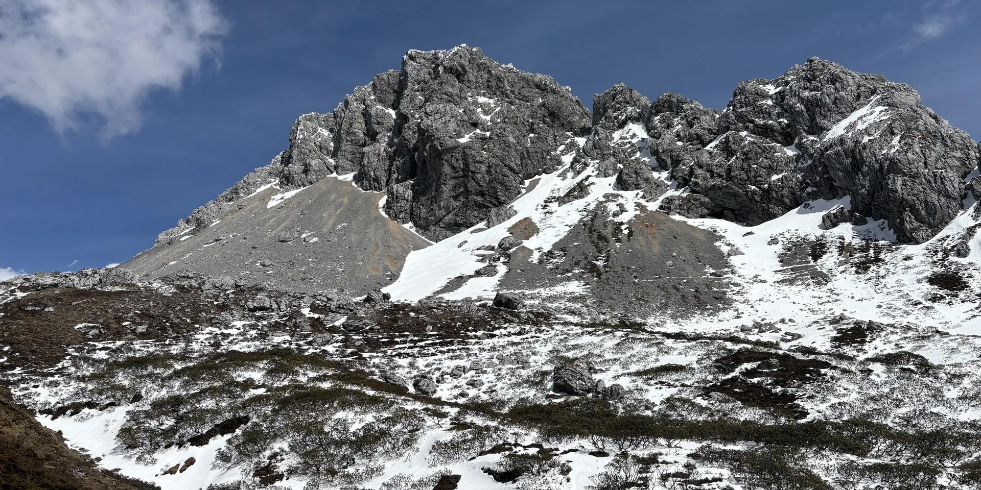
The high point on this recording is 5,205 m. A note says the Dala pass was blocked after a collapse. Confirm the trail is open before you go.
The Meili kora is not this route. The Yubeng walks stay in the Yubeng valley.
Checked October 11, 2026
Discussion
Log in to join the discussion. New here?Create an account.