Getting there
The first photo is the gate of Cangshan National Geopark. A sign on the walk reads Dali Cangshan National Trail. The recording does not describe the road to the gate.

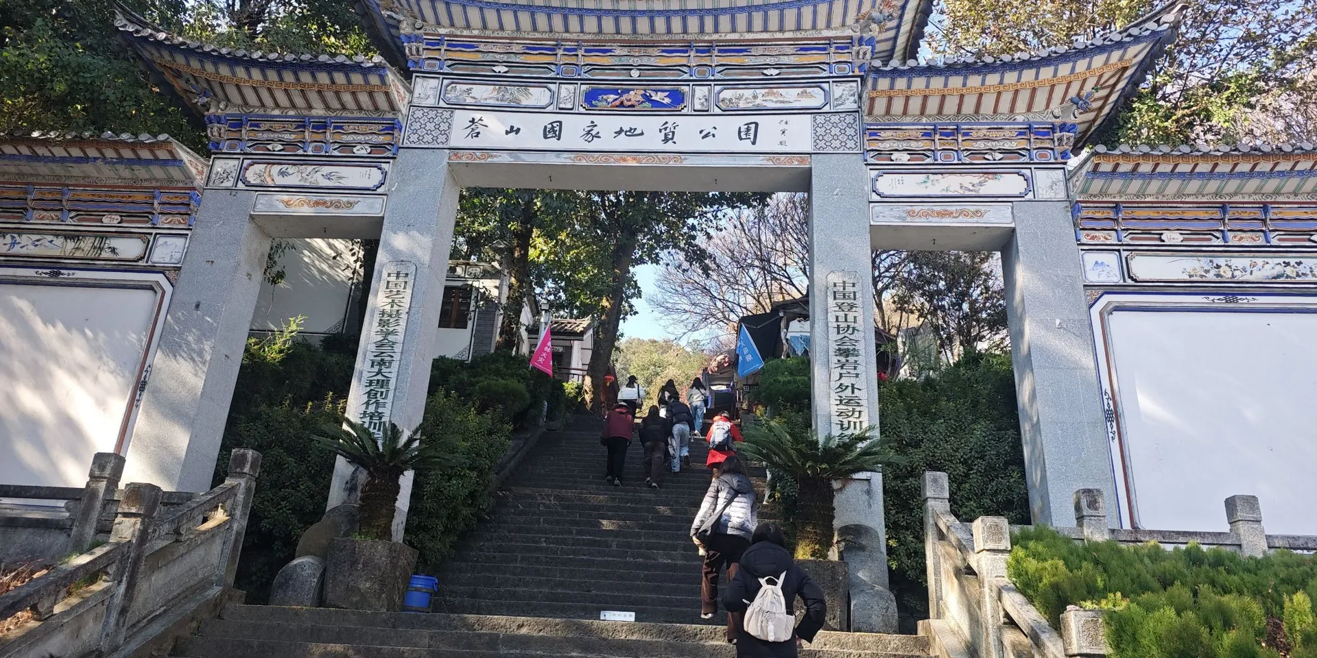
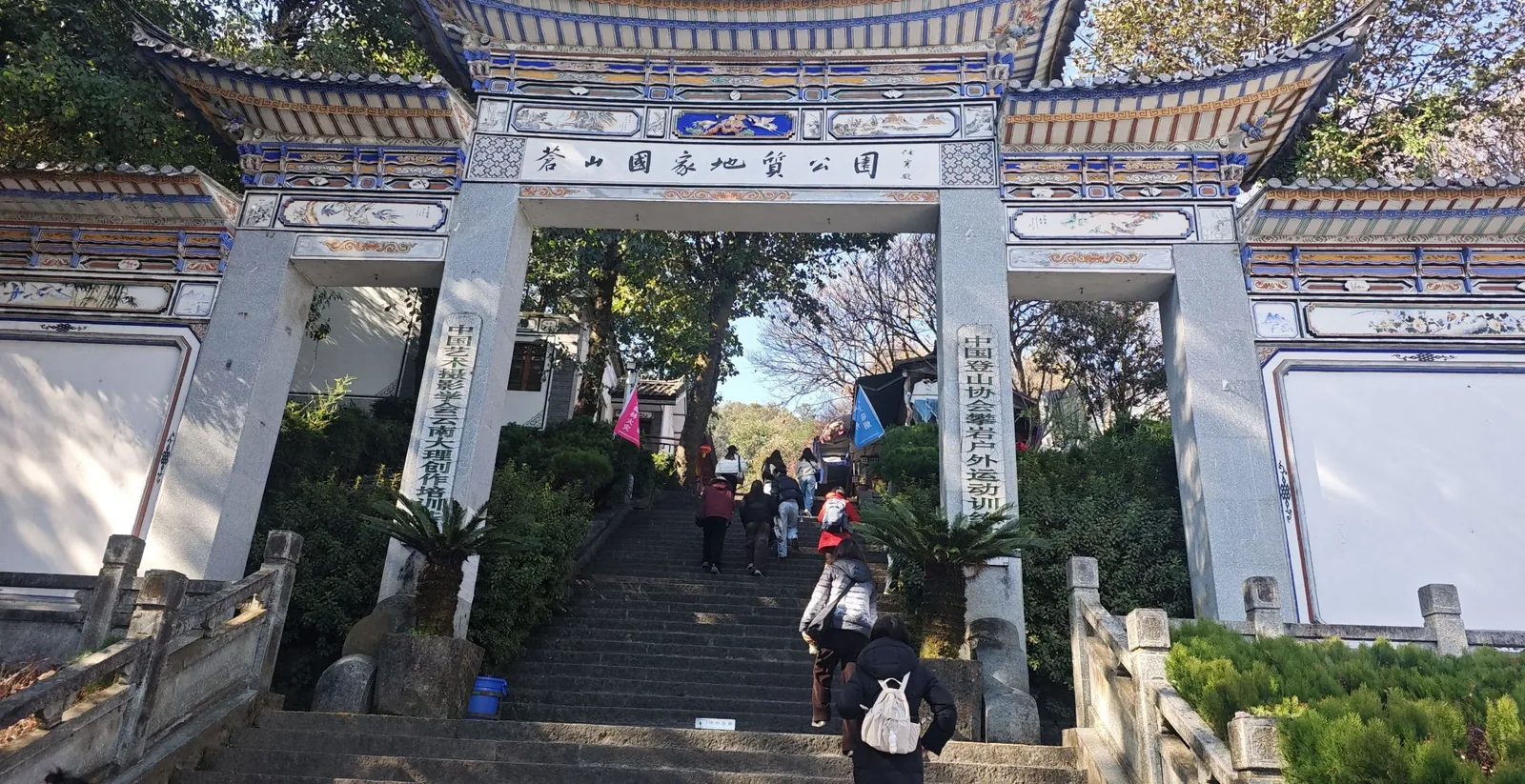
The gate of Cangshan National Geopark
A same-day walk on the Cangshan jade-belt road, the upper, middle, and lower Gantong sections, from the geopark gate to a street.
The first photo is the gate of Cangshan National Geopark. A sign on the walk reads Dali Cangshan National Trail. The recording does not describe the road to the gate.
The high point on this recording is 2,606 m. A photo shows the geopark gate. Confirm the trail is open before you go.
Checked October 11, 2026
Discussion
Log in to join the discussion. New here?Create an account.