Getting there
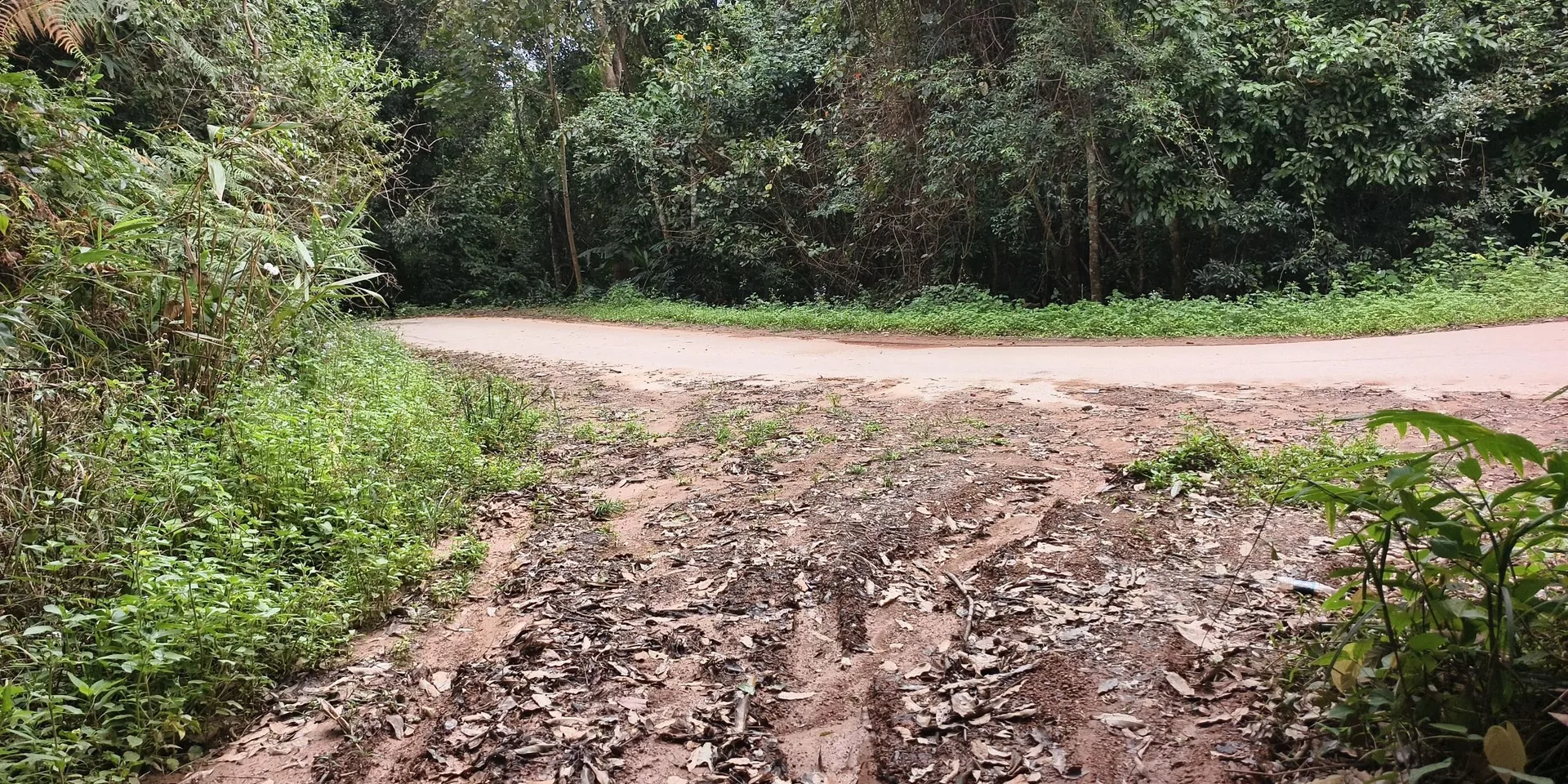
A photo shows the trailhead sign for the Liangwang Mountain hiking trail. The map on that board marks Qiumuqing. The recording does not describe the road there.

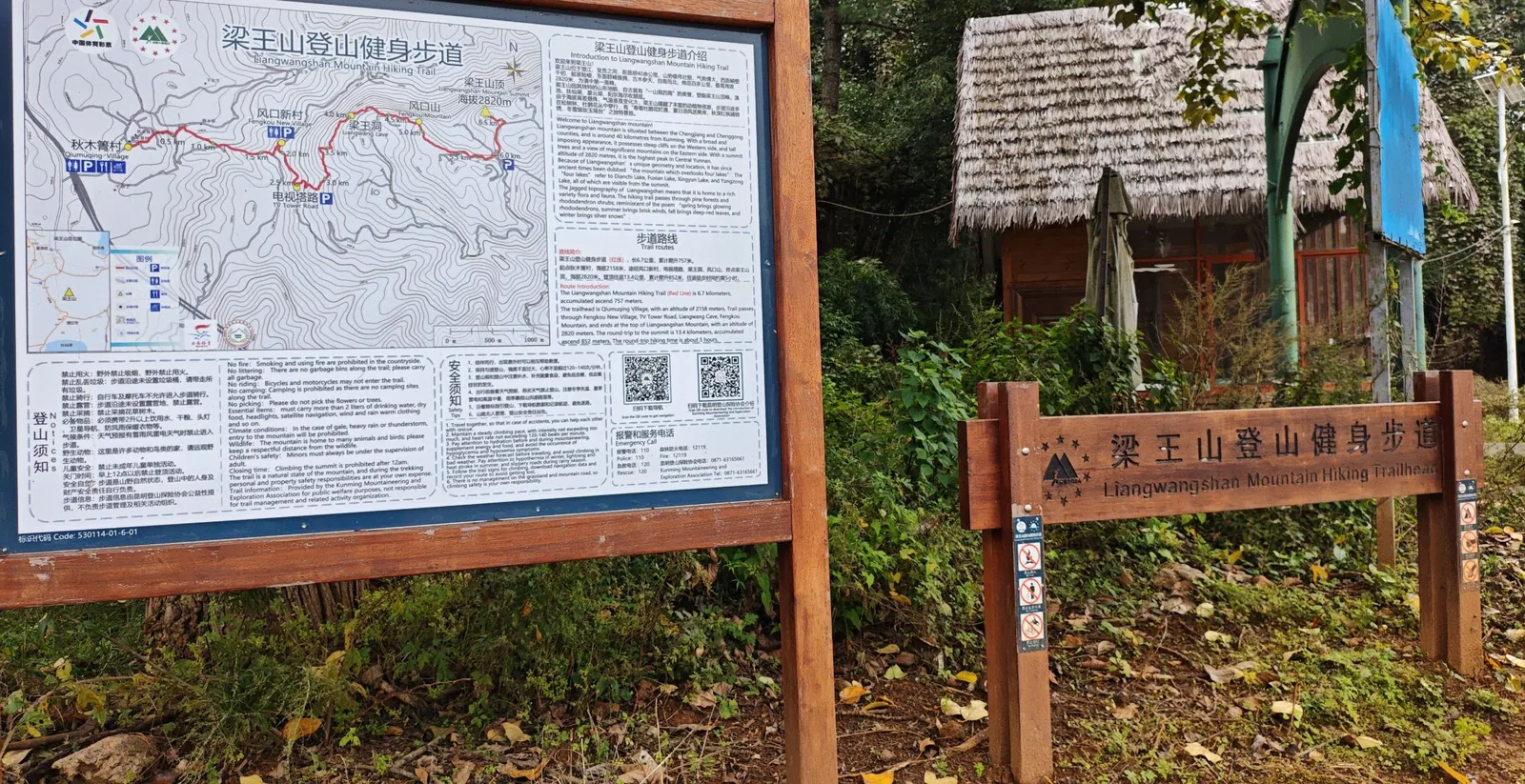
The trailhead board
A same-day walk on the Liangwang Mountain hiking trail, starting and ending at the signed trailhead by Qiumuqing.
A photo shows the trailhead sign for the Liangwang Mountain hiking trail. The map on that board marks Qiumuqing. The recording does not describe the road there.
The high point on this recording is 2,727 m. A photo shows the trailhead sign. Confirm the trail is open before you go.
Jiaozi Snow Mountain and the Xishan Maomaoqing walk are separate pages.
Checked October 11, 2026

Discussion
Log in to join the discussion. New here?Create an account.