Getting there
This recording starts in Siguniang Town. It does not describe the road into town.


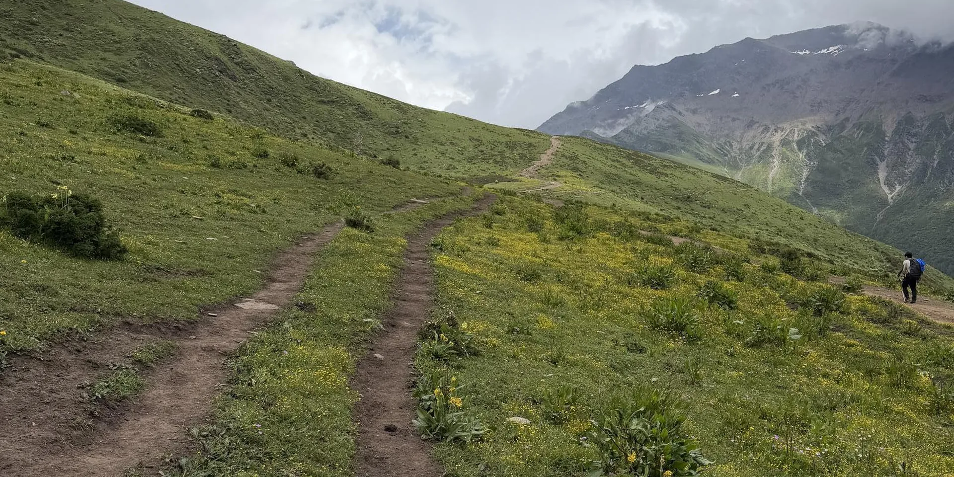

Red poppies
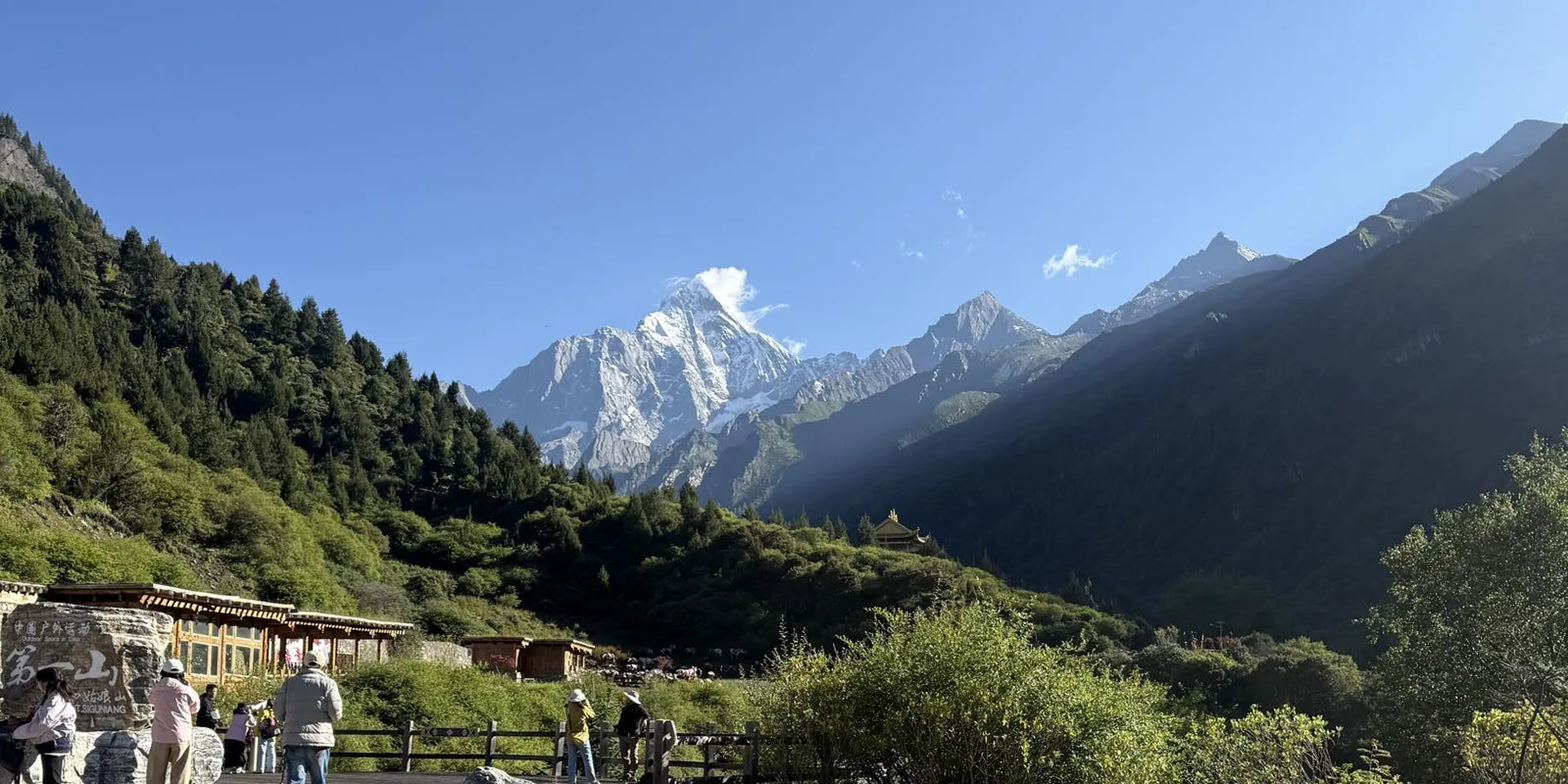
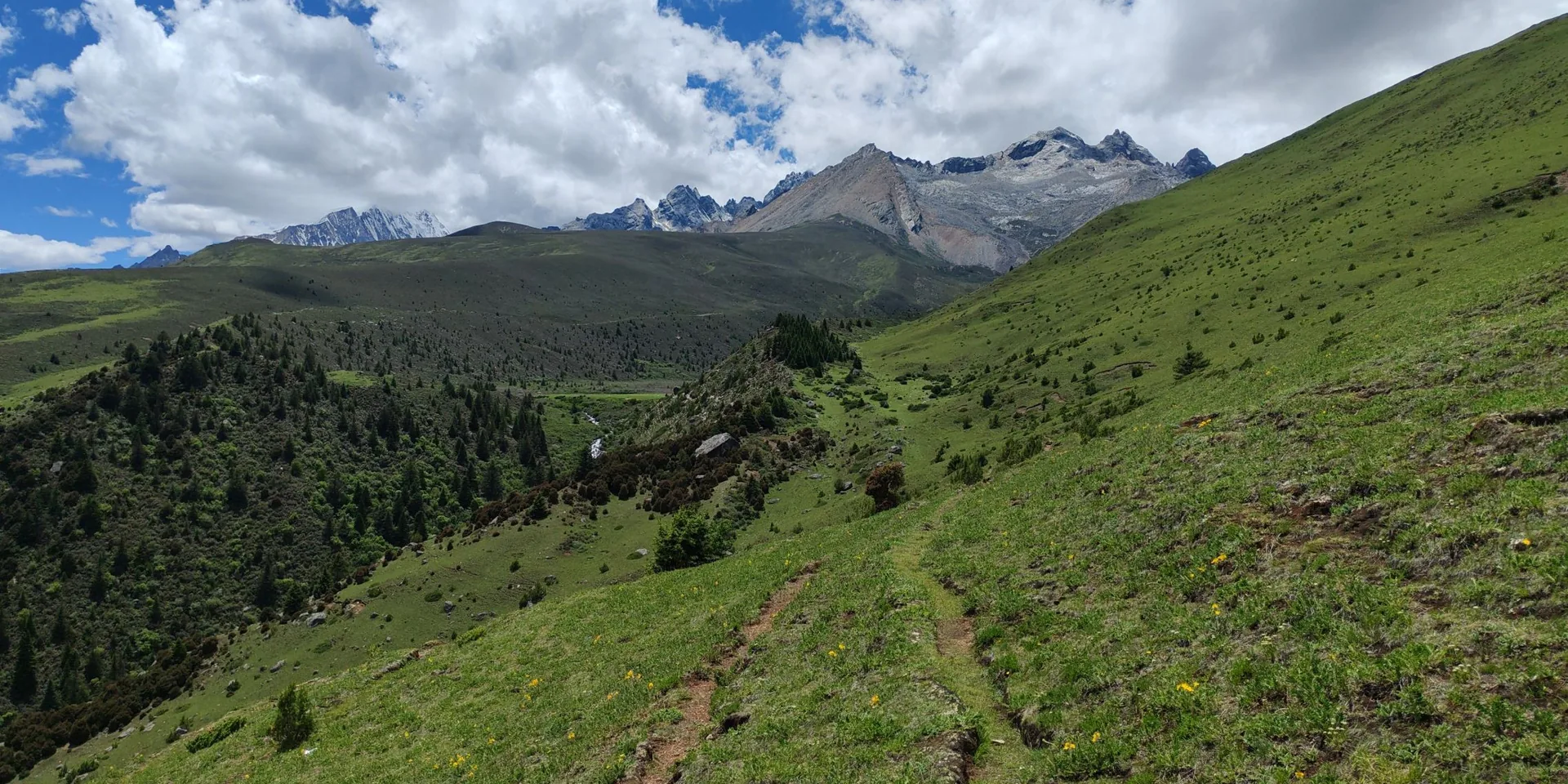
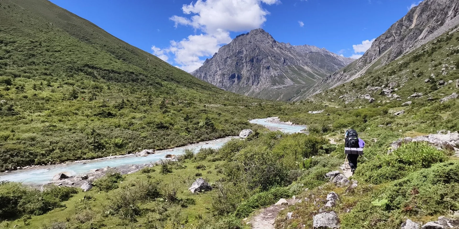
A recording from Siguniang Town to the point labeled Er Feng base camp, linking Da Feng and Er Feng. The high point on the track page is 5,264 m.
This recording starts in Siguniang Town. It does not describe the road into town.
The high point on this recording is 5,264 m. Confirm the trail is open before you go.
This page is the linked walk of Da Feng and Er Feng. It is not Da Feng alone, and it is not Er Feng alone.
Checked October 11, 2026










Discussion
Log in to join the discussion. New here?Create an account.