Getting there
The file labels the start as Kangding and does not describe the road.

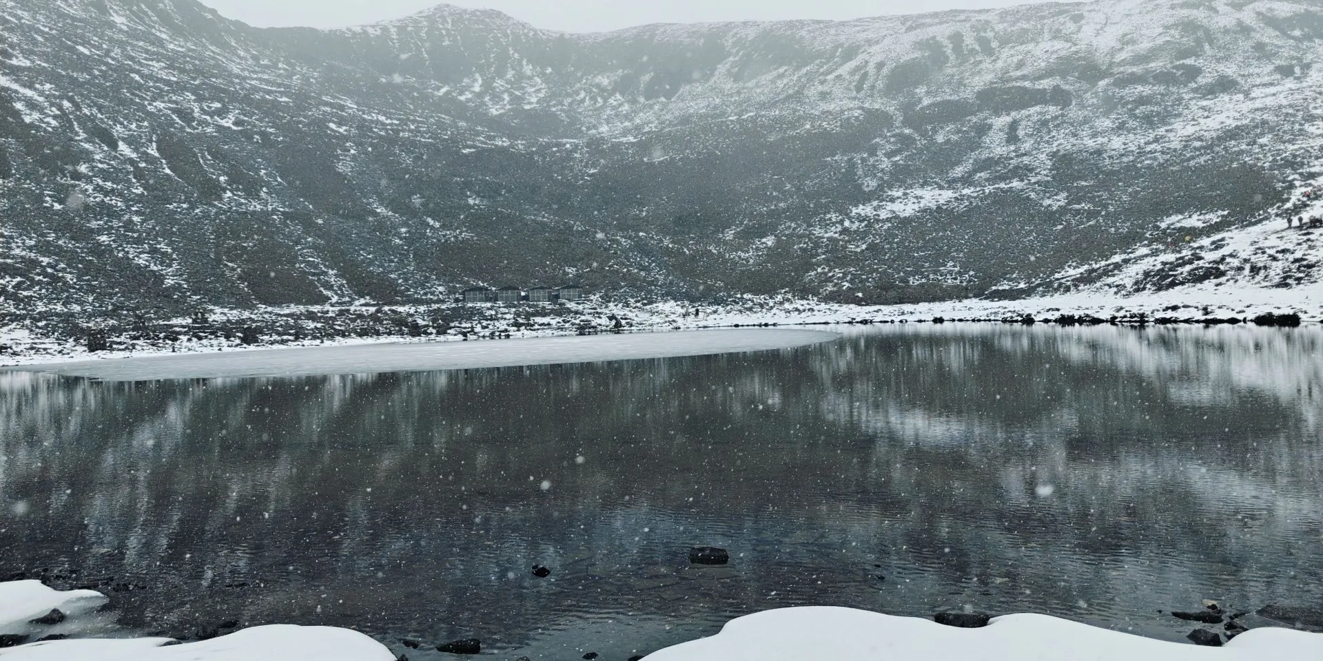
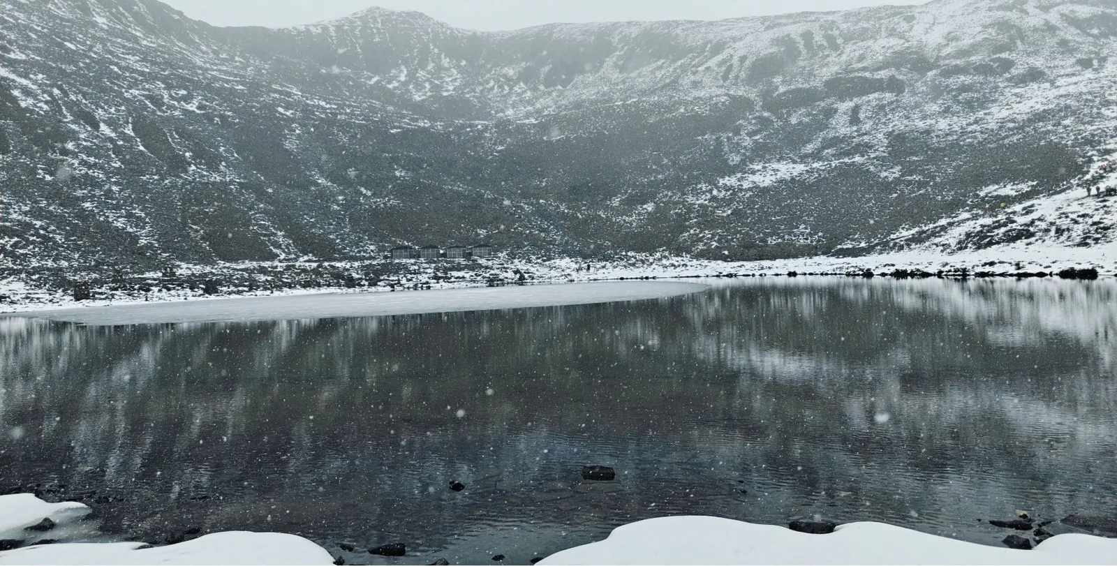
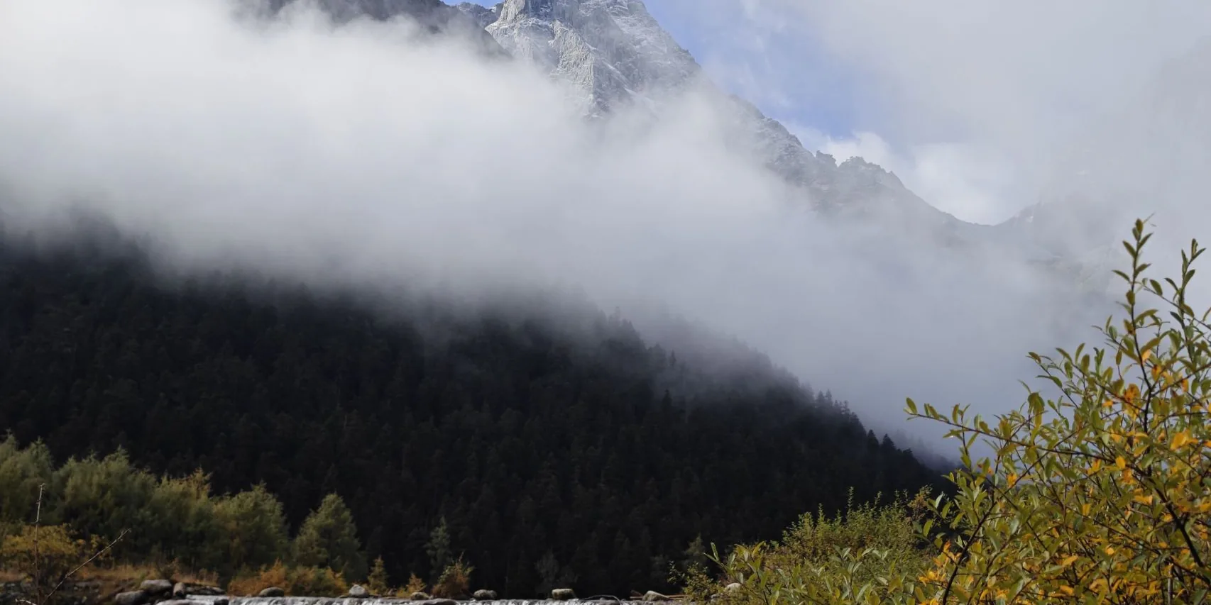
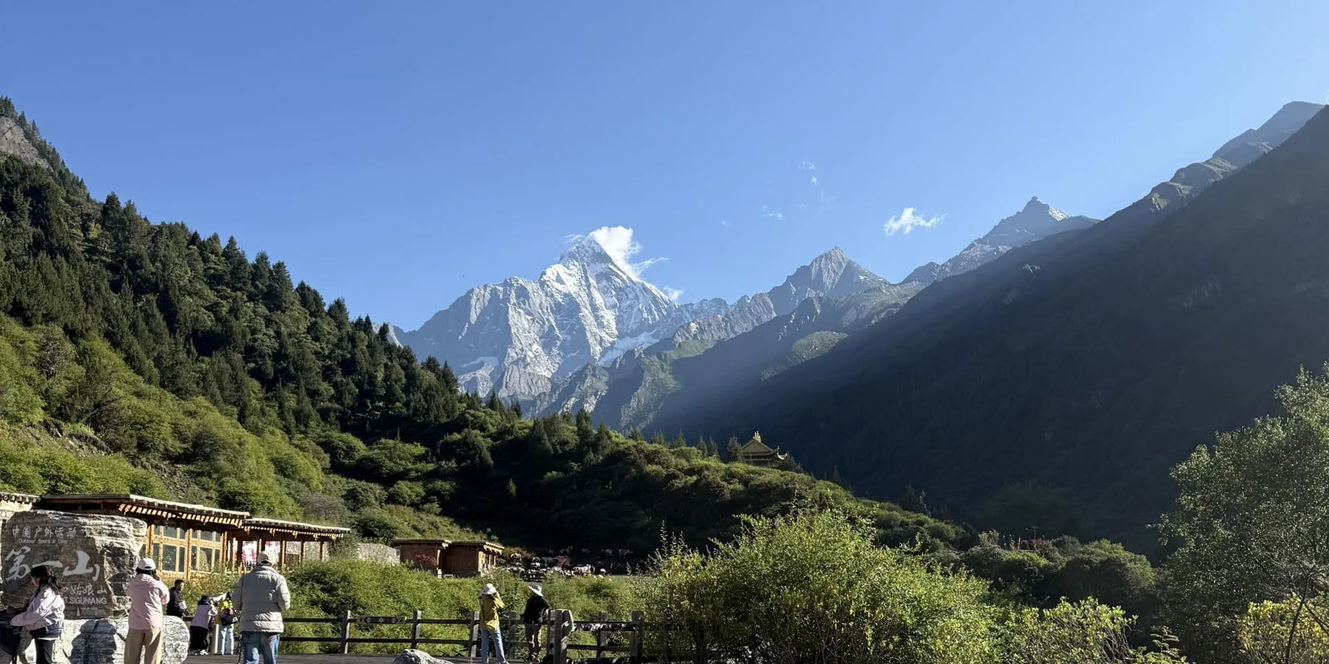
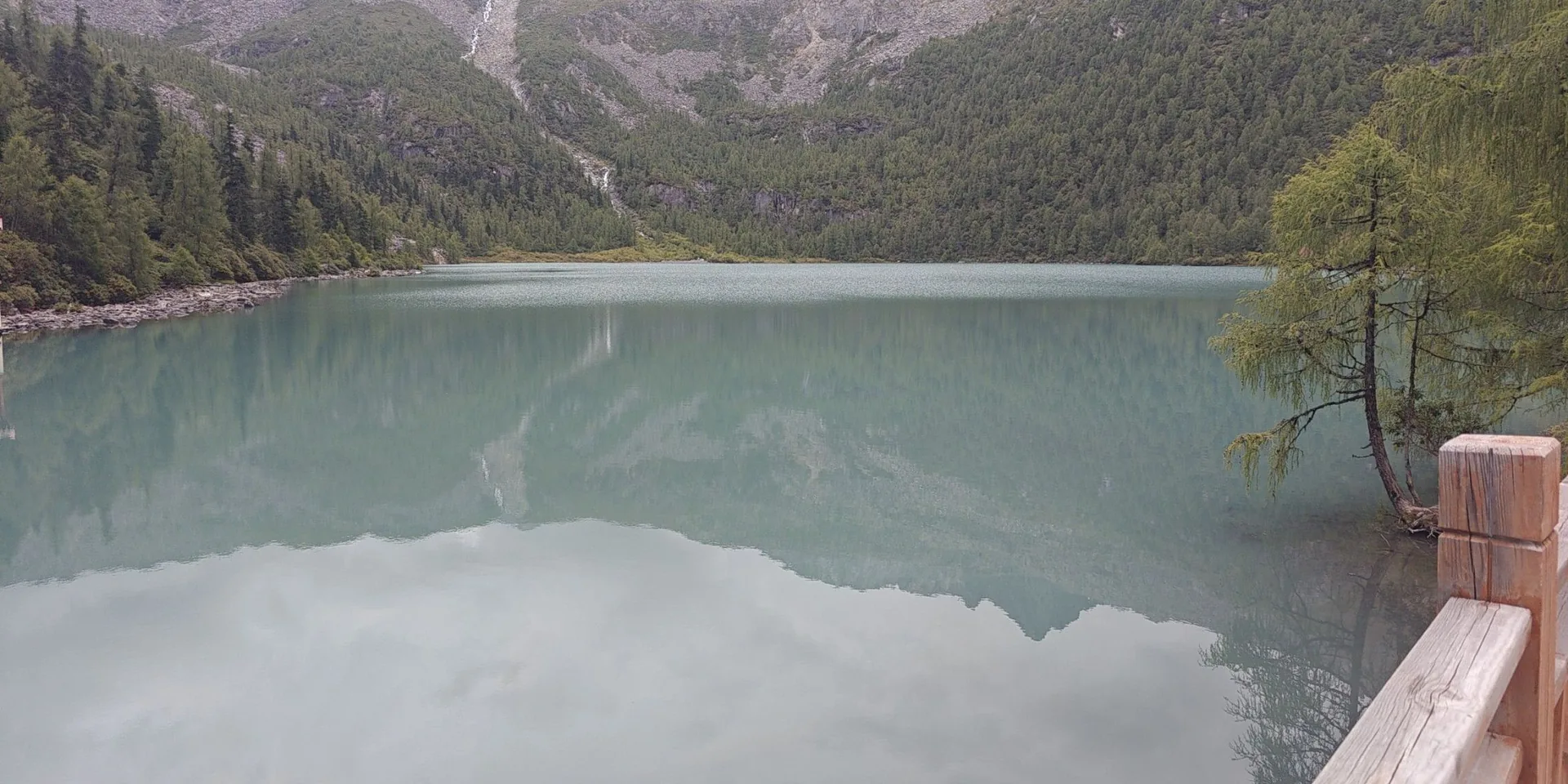
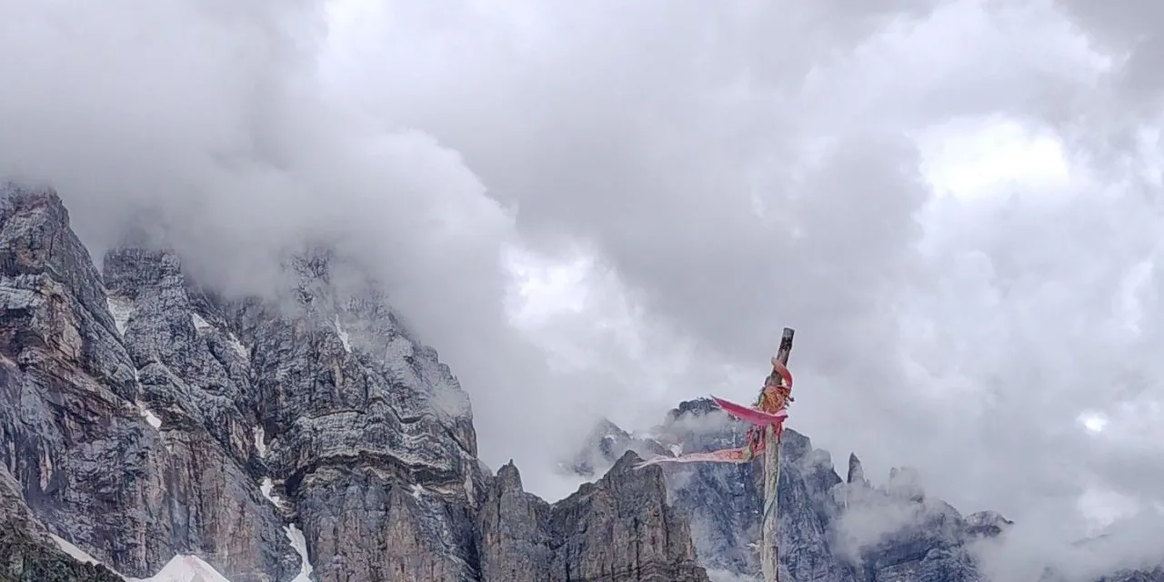
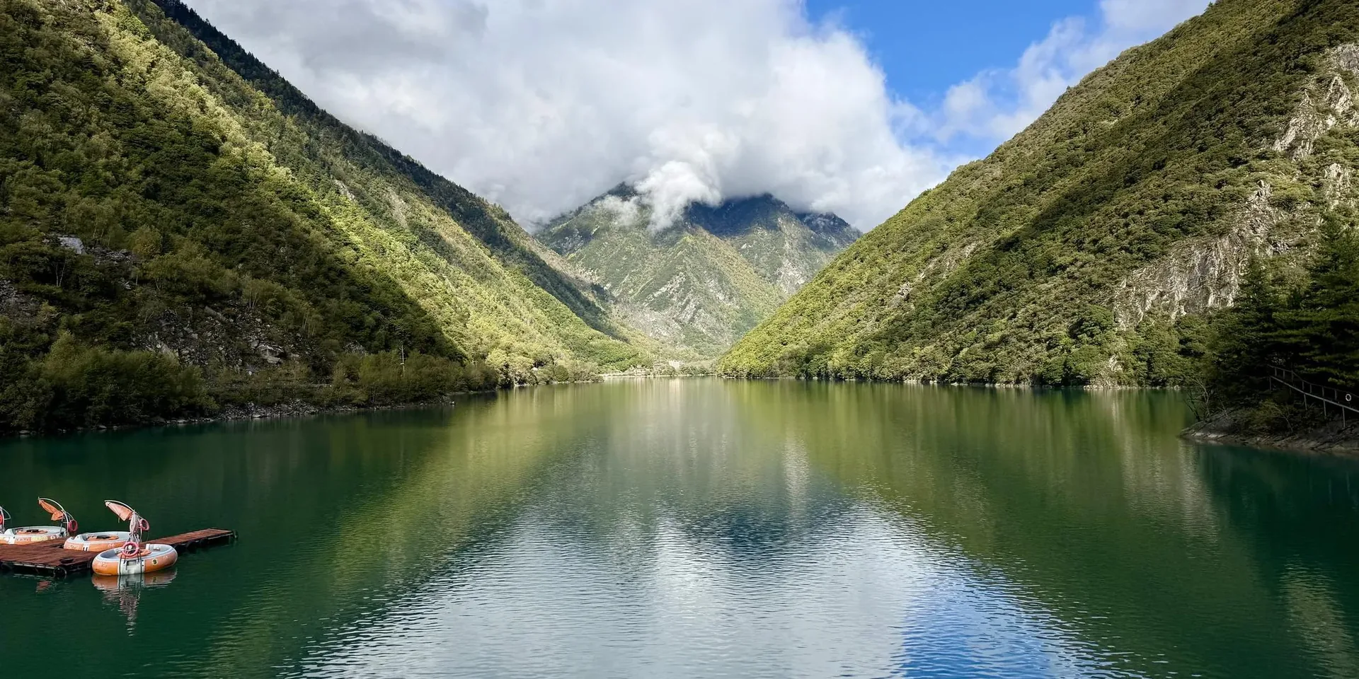
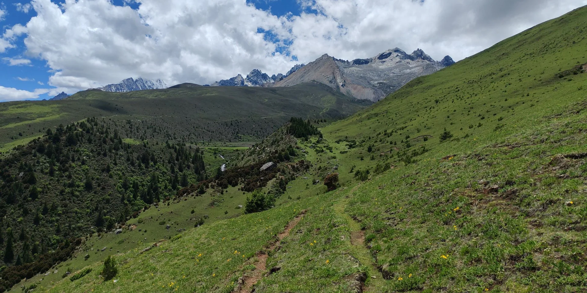
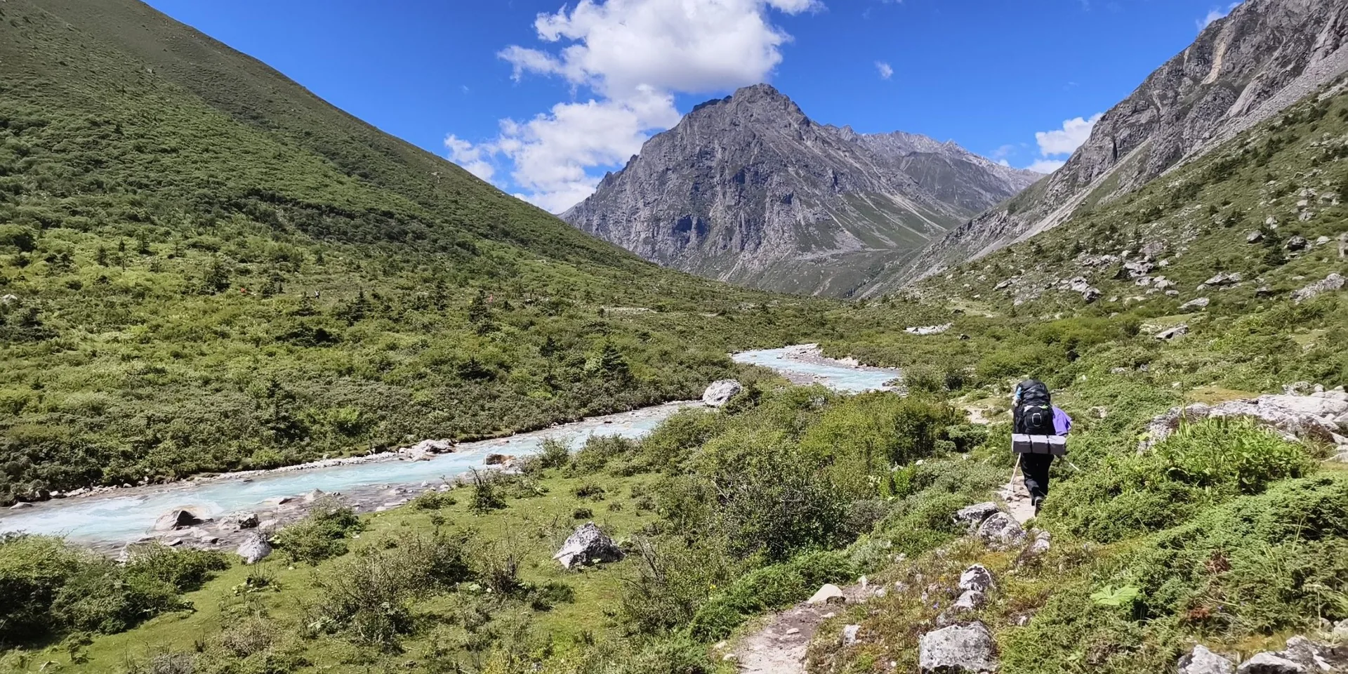
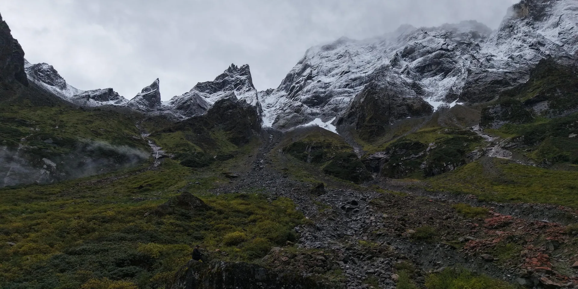
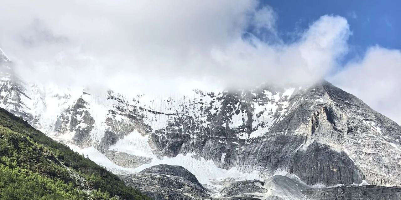
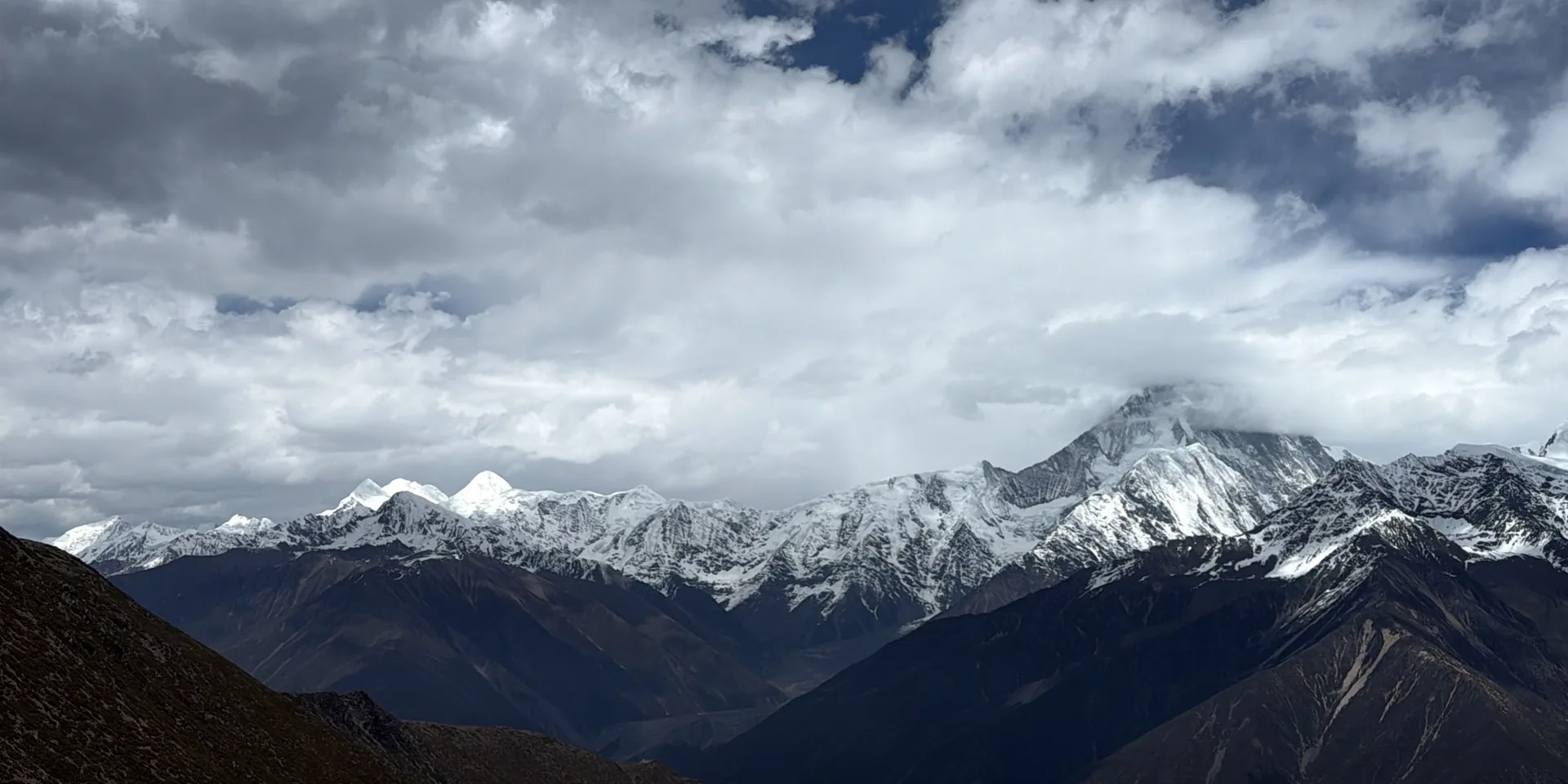
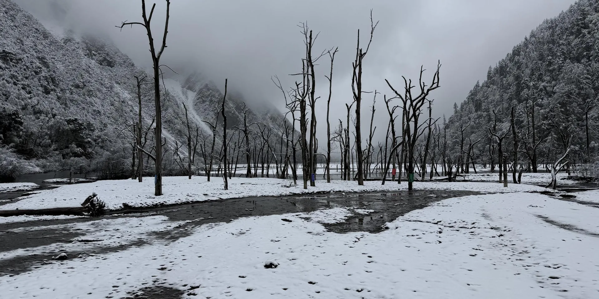
A lake under snowy slopes
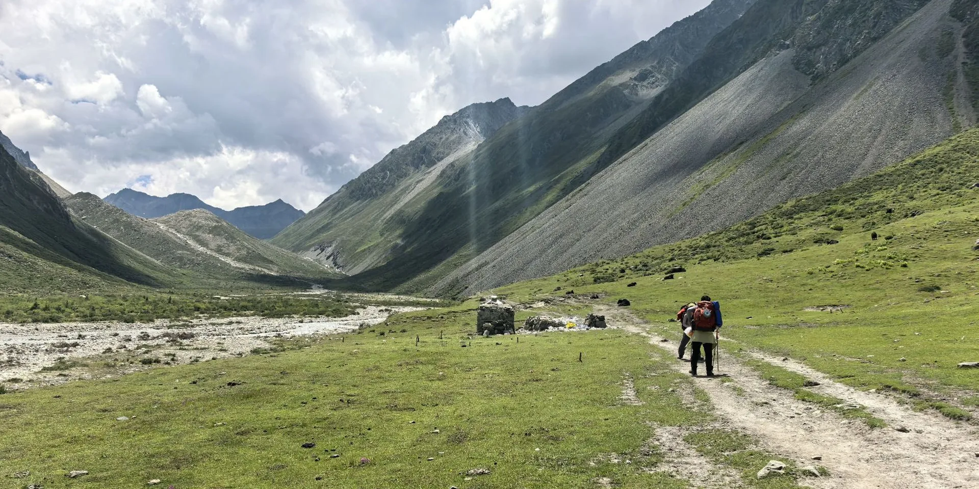
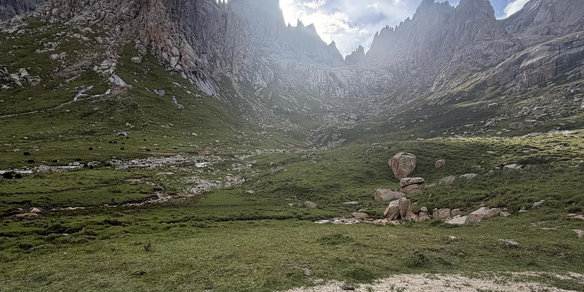
A same-day loop naming Lengga Tso and San'en Tso. The file labels the start and the end as Kangding.
The file labels the start as Kangding and does not describe the road.
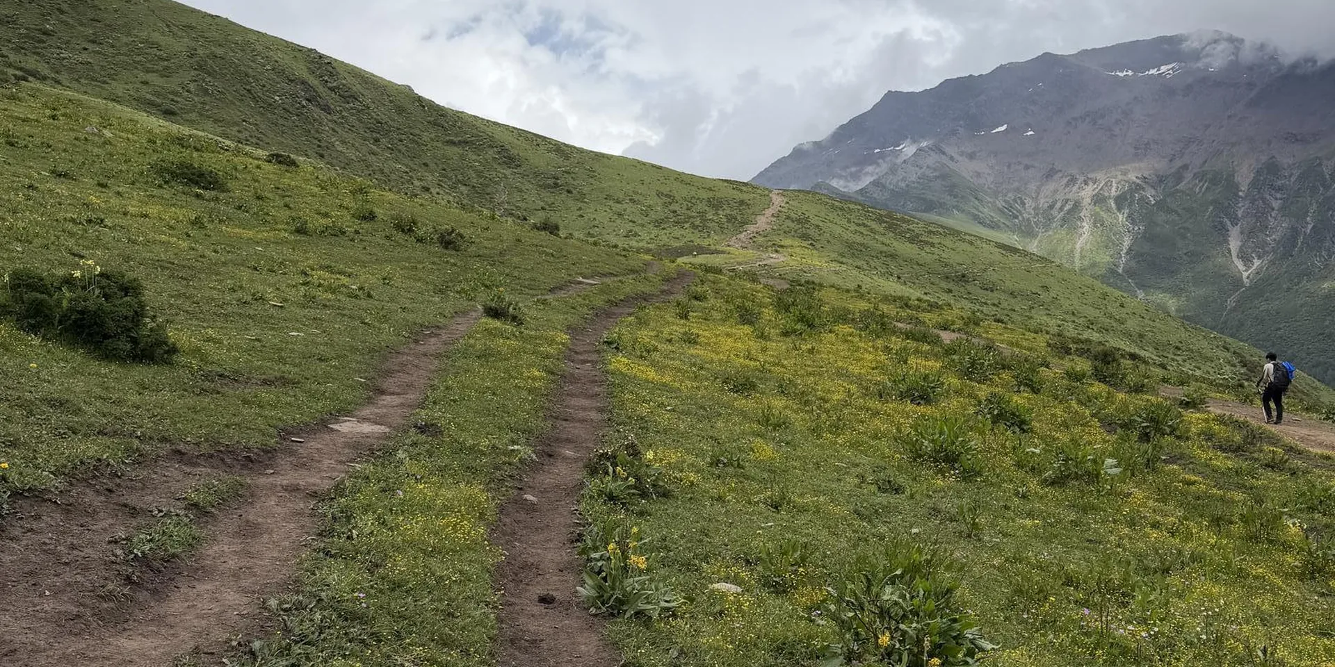
The high point on this recording is 4,518 m. Confirm the trail is open before you go.
The Gongga circuit, which also names Lengga Tso, is a different page.
Checked October 11, 2026
Discussion
Log in to join the discussion. New here?Create an account.